PLACE INDEPENDENT CITY
Santa Monica
in detail.
Santa Monica runs its own police department and publishes its own crime data.
THE NEIGHBORHOOD8.3 square miles
This view uses the recognizable neighborhood lines from Mapping L.A.
Inspect the boundary source ↗The city’s new Community Crime Dashboard has current NIBRS offense data through Nov 12, 2026, including event times, neighborhood districts, and block-level map locations.
Open the city dashboard ↗01 STREET-LEVEL EXPLORER
The block,
on a real map.
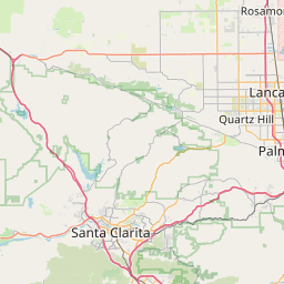
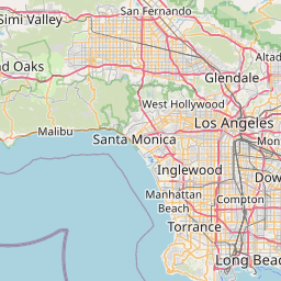
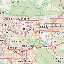
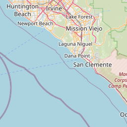
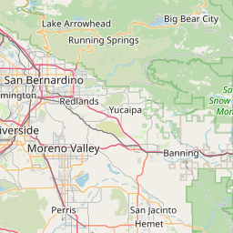
Zoom, open a cluster, and click any dot to see the published block and full record.


Property Violent Other
ON THE MAP Public block-level locations from the publishing agencies. The dots remain usable if the background tiles are unavailable.
01 PATTERN EXPLORER
Santa Monica,
by the numbers.
CASES BY DAY7 stable comparison days ending Nov 12, 2026
CLICK A DAY TO FILTERNov 6, 2026Nov 12, 2026
TYPES OF CRIMEFamiliar crime groups
208 recordsClick a category to open the matching records.
MOST COMMON OFFENSESWhat makes up the total
CLICK TO FILTER RECORDSTIME OF OCCURRENCECases by hour
Based on recorded time12 AM6 AM12 PM6 PM11 PM
PEAK HOUR2 PM14 cases · filter →03 CLICK INTO THE RECORDS
Every record,
opened up.
Santa Monica Police offenses
Search by crime, block, neighborhood, status, or code. Open a record for coordinates, police area, case status, and its direct source.
View publishing source ↗7 of 208 published offense records
01
Weapon Law Violations
1800 MAIN ST · Santa Monica Police.
OFFICIAL SANTA MONICA POLICE RECORDCase PD2026111310Code 520
02
All Other Offenses
1800 MAIN ST · Santa Monica Police.
OFFICIAL SANTA MONICA POLICE RECORDCase PD2026111310Code 90Z
03
All Other Offenses
BROADWAY · Santa Monica Police.
OFFICIAL SANTA MONICA POLICE RECORDCase PD2026111031Code 90Z
04
All Other Offenses
1400 2ND ST · Santa Monica Police.
OFFICIAL SANTA MONICA POLICE RECORDCase PD2026111030Code 90Z
05
Drug Equipment Violations
2600 MAIN ST · Santa Monica Police.
OFFICIAL SANTA MONICA POLICE RECORDCase PD2026110671Code 35B
06
All Other Offenses
2600 MAIN ST · Santa Monica Police.
OFFICIAL SANTA MONICA POLICE RECORDCase PD2026110671Code 90Z
07
Motor Vehicle Theft
2500 KANSAS AVE · Santa Monica Police.
OFFICIAL SANTA MONICA POLICE RECORDCase PD2026109543Code 240
Default order is the date the incident happened, newest first. Open any record for coordinates, police area, offense code, case status, and a direct source link. One case can appear more than once when multiple offenses are recorded.
04 PEOPLE ALSO CHECK